By Bumelbee - 12/6/2016 10:29:50 AM
Hi,
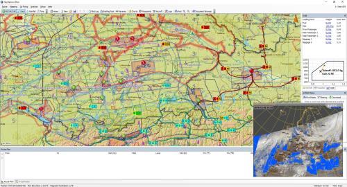
I would really like the option, to overlay a satellite image on the planning page for a better arwareness of the weather situation.
I made a picture with photoshop...
What do you think?
Manuel
|
By Tim Dawson - 12/6/2016 3:59:56 PM
We have rainfall data in SkyDemon but at present the demand for infrared data (I assume that's what you are referring to) integrated into our charts is very low.
|
|